Tuesday, 11 October 2016 - Bluff, Utah - Tropic, Utah
Left Bluff in a cool 11 degrees C this morning, hot compared to what is forecast for here in the morning. Travelled north through some uneventful country then west on Highway 95. Today was a bit of a cop-out really, we were supposed to be taking Highway 261 to meet up with 95 but that involved a section of road called the Moki Dugway. This has a section of about 4 - 5 Klms of unsealed road in the tightest section of a mountain range. I was unable to find out the condition of the road so we elected to go round. When this morning looked like a probability of rain in that general direction, we decided we had made the correct decision. Did it rain, don't know, but we definitely saw rain in the direction and barely missed it where we were.
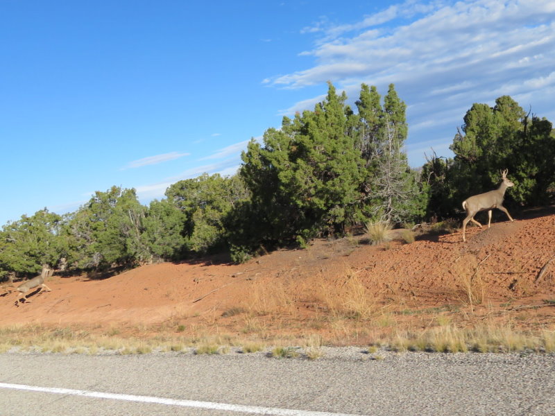
Highway 95 runs through open range country with warnings of stock and other animals. The first thing we spotted crossing the road in front was, I think, a bobcat. No photo, the official trip photographer didn't have the camera out at the time. Therese has received a lot of compliments over the years and on this trip regarding the photos she takes while travelling at speed along the road. Some we do slow down or stop for if there is a need to do so to get a good picture, sometimes to the annoyance of other vehicles. Turns out it really does take a lot to put her off her game, check out the photo of the deer family below. We rounded a corner, slightly distracted while discussing some large RV's we has just seen and there was a family of deer on the edge of the road. That picture was taken while the Goldwing front wheel was trying to bury itself into the bitumen at almost maximum braking. Got that photo of the buck and by chance the others but was disappointed she missed the one of the doe and fawns.
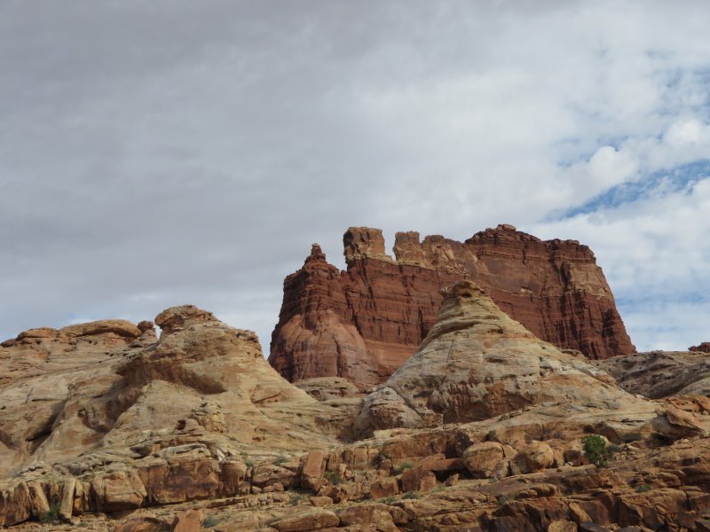
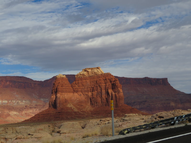
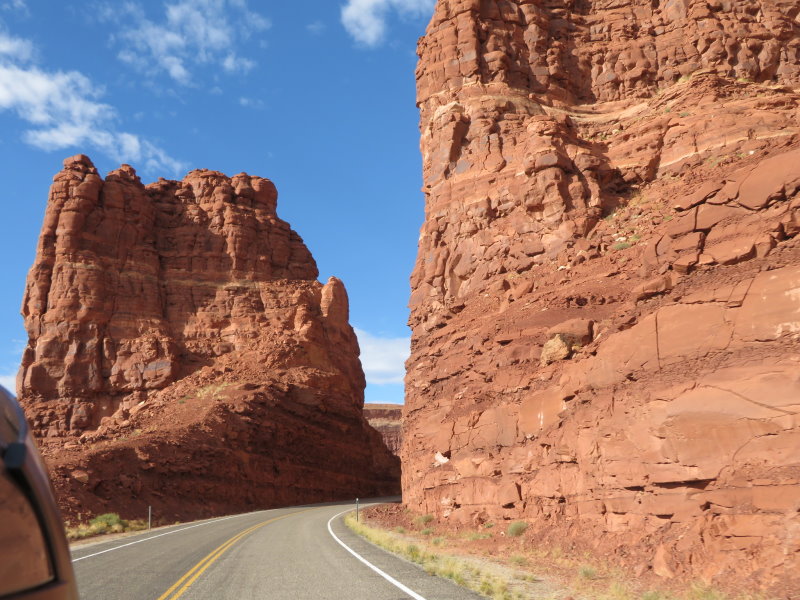
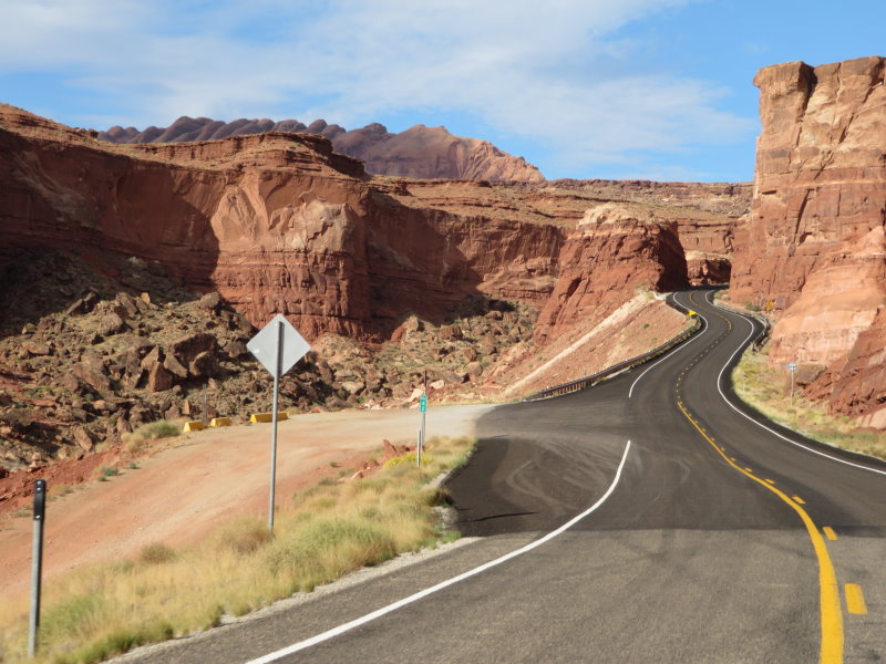
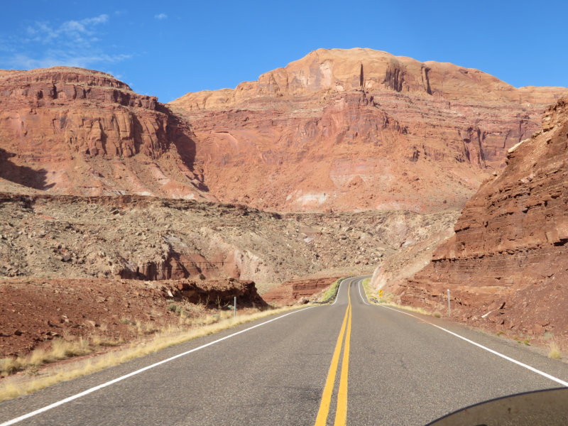
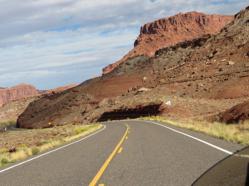
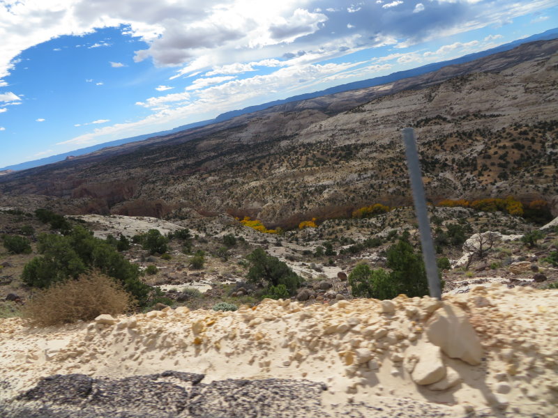
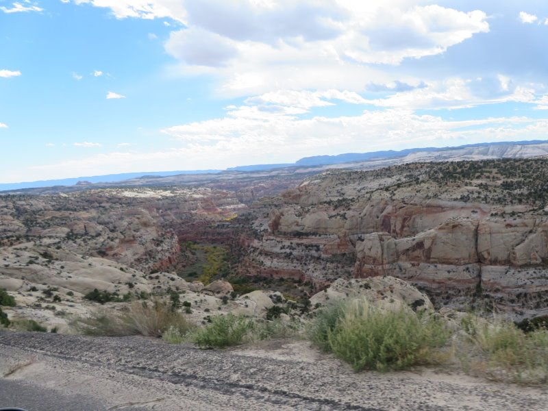
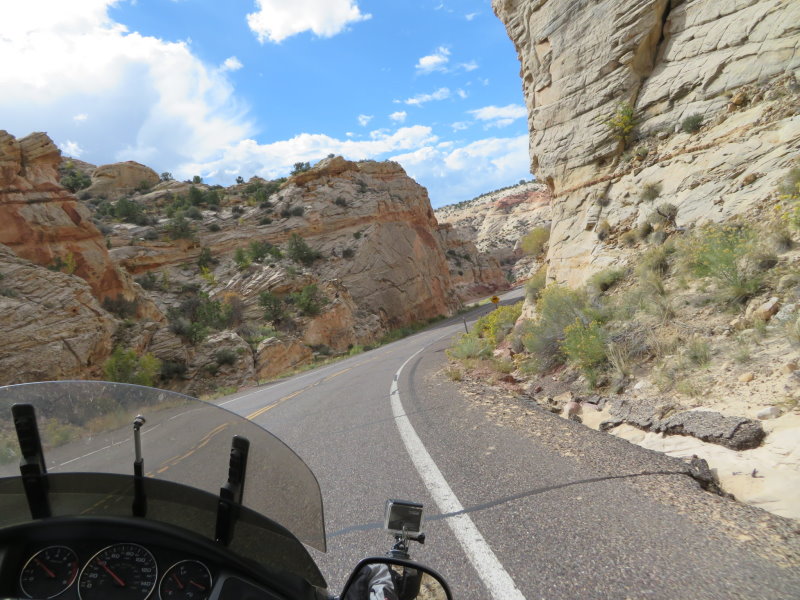
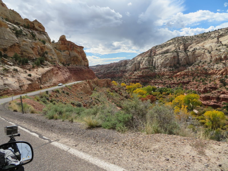
A bit of sloppy investigation of today's route, much of which was the balance of the previously planned route, meant we were expecting pretty much a travel day with little to see before Bryce Canyon tomorrow. That was until we hit the Glen Canyon Recreation Area. The section of highway between Fry Canyon and North Wash is absolutely mind blowing. The road twists and turns through a number of canyons and the terrain changes around every turn. The rock formations through there are just so impressive that you just don't know where to look, or what to photograph, as you just know that a picture will not do justice to what you see. While riding through it , it got me thinking. A lot of people wonder why we do these trips by motorcycle instead of car or bus. We ride a lot at home and love the ability to see the whole world around us and actually be in it, rather than in a car. To get some idea of what I mean, in a car you can see a limited view out the windscreen or the window beside you but that is about it, look at the photos and you will see what I mean. We tried a car in New Zealand and getting photographs was difficult and windscreens and window pillars and the roof get in the way and by the time you stop, the picture opportunity has passed. I've added a couple of videos to try to convey the difference of how when you are riding along, you have the complete panorama at your disposal constantly. Enough preaching, it was that sort of day.
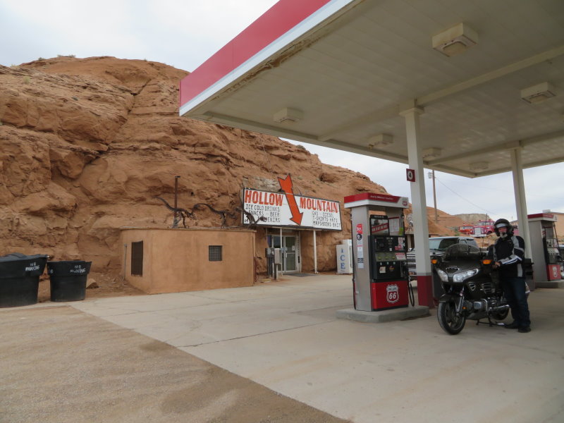
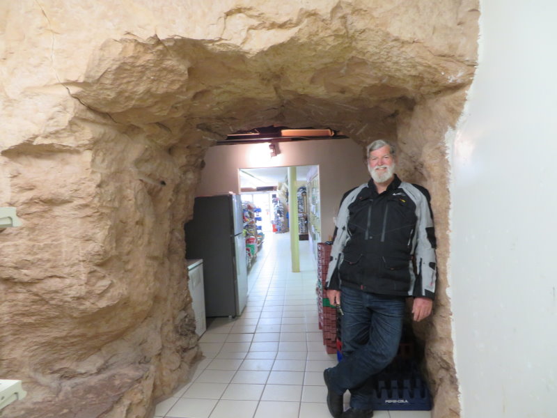
Into Hanksville for a fuel stop and I skipped the first gas station for the next one which was on my side of the road. Good decision, the shop for this servo has been built into the rock mountain. The space in which it is built was dug/drilled/blasted for this purpose. Bit like Coober Pedy I suppose. Then west to Torrey, then we turned south onto Highway 12.
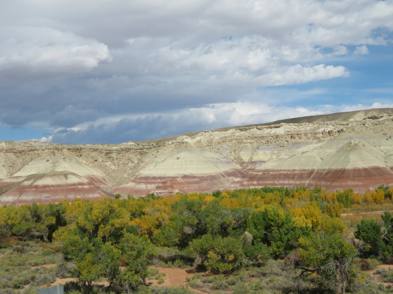
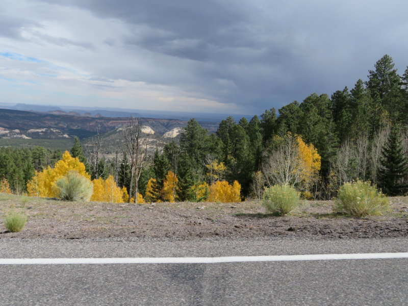
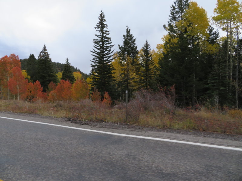
Highway 12 apparently is the 2nd on the list of “Most Beautiful Highways in the World“. I wouldn't necessarily go that far, especially after the last section we had done but it is great. Running south over Boulder Mountain topping out at 9600 feet and 10 degrees C today before dropping down into Boulder then over another mountain and heading west into Escalante and running through more canyons to where we are tonight at Tropic. I guess we knew we were in for a good ride when we came out of Torrey and started to climb with a sign warning motorcyclists of 80 miles of tight curves. It's not just the curves, this time instead of just formations around every turn, the entire vista changes including the rock colours; grey, black, white, pink, rust red and a lot of colours in between. Some sections are just massive rock walls and other areas look like mounds of soil dumped on the flats and bases of rocky hills by trucks. Through the mountain sections, the Aspens and other deciduous trees are changing colour and dropping leaves adding to the splendid colours of the region.
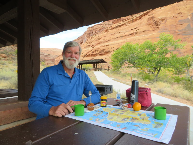
Did we enjoy today, you bet. Today is sort of my birthday even though Australia had today yesterday. Therese kept telling me that riding where we were, I was getting the best birthday ever.
Great little town Tropic and the Bryce Pioneer Village has a great restaurant and even live entertainment. Tomorrow we head through Bryce Canyon and Zion National Parks to Las Vegas.
490 klms today, total to date 13,774 klms.
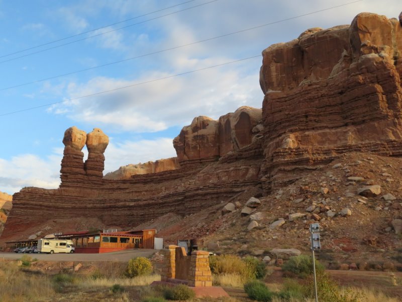
The Twins on the road north from Bluff
Huge cutting
Deer Family; Buck, Doe and 2 fawns
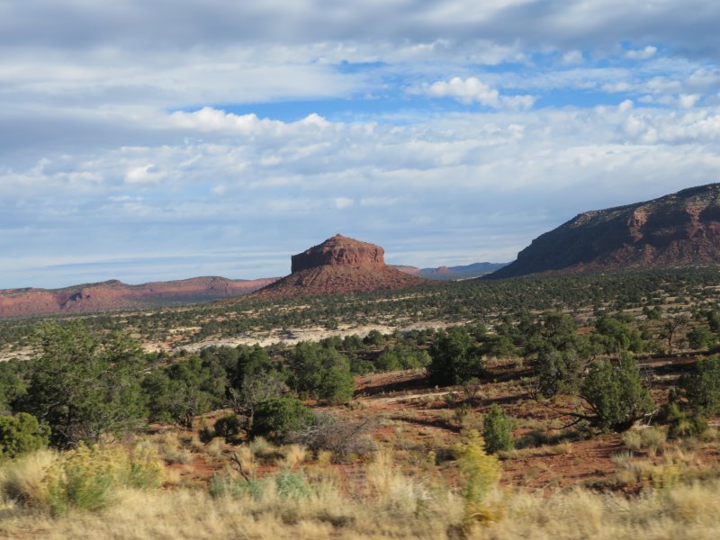
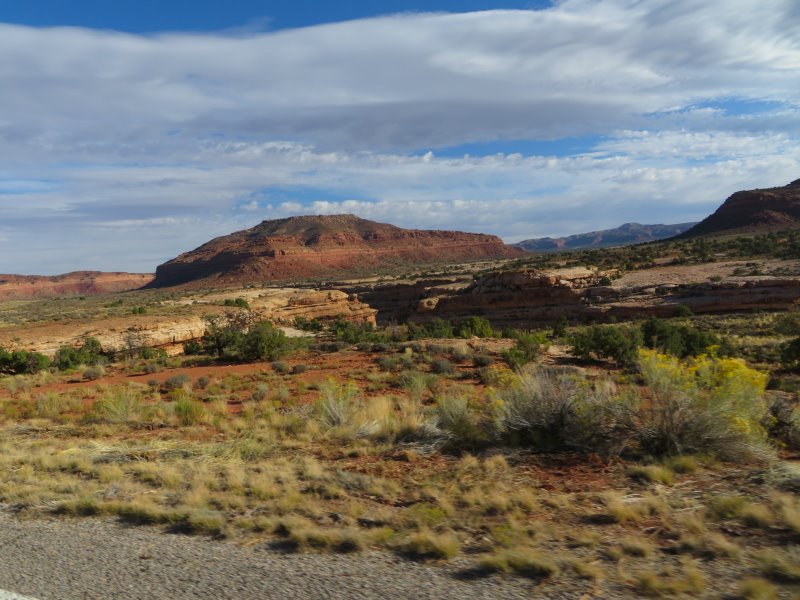
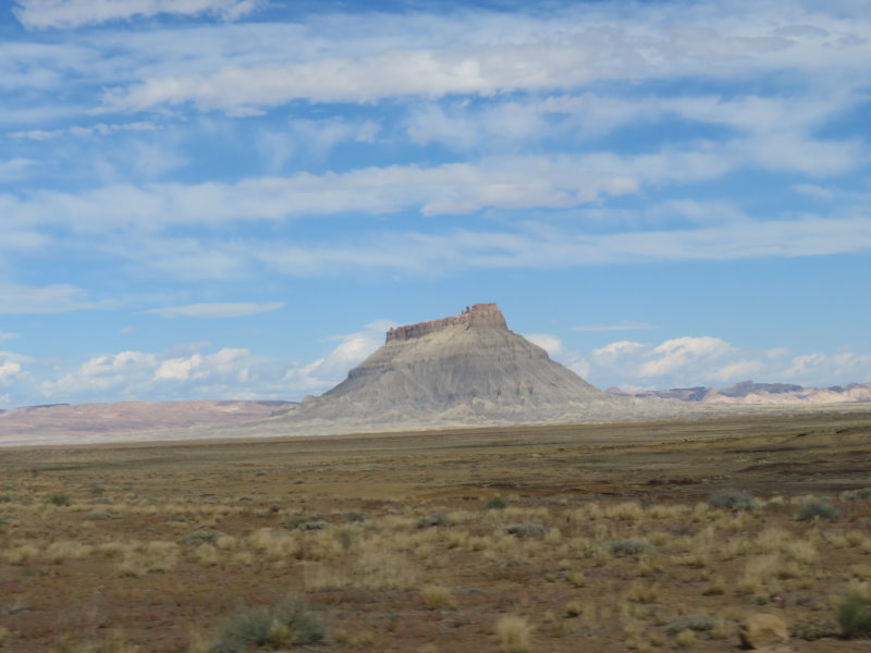
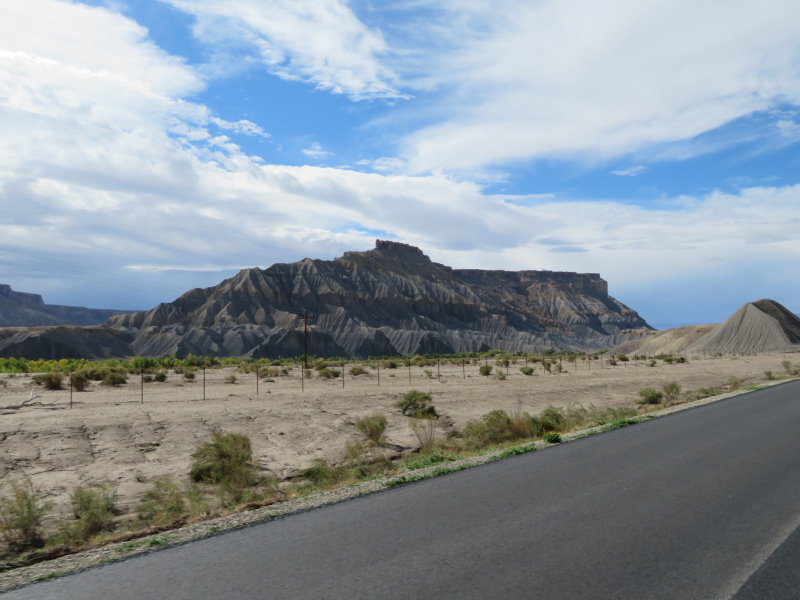
Formation in the Glen Canyon Recreational Area; Cheese Box Butte
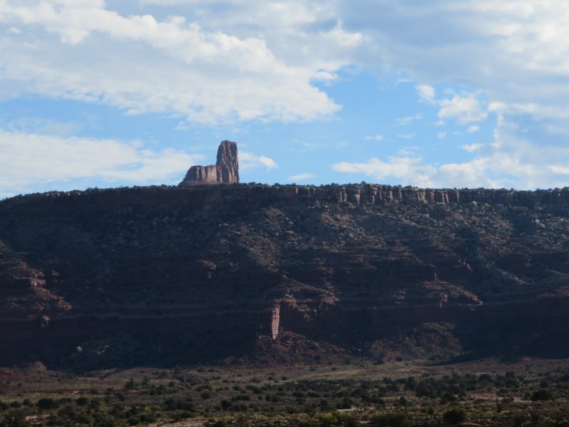
Formation in the Glen Canyon Recreational Area; Jacob's Chair
Formation in the Glen Canyon Recreational Area
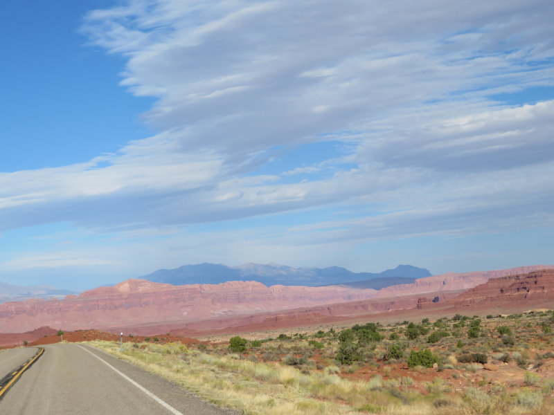
Interesting mix of colours in the hills
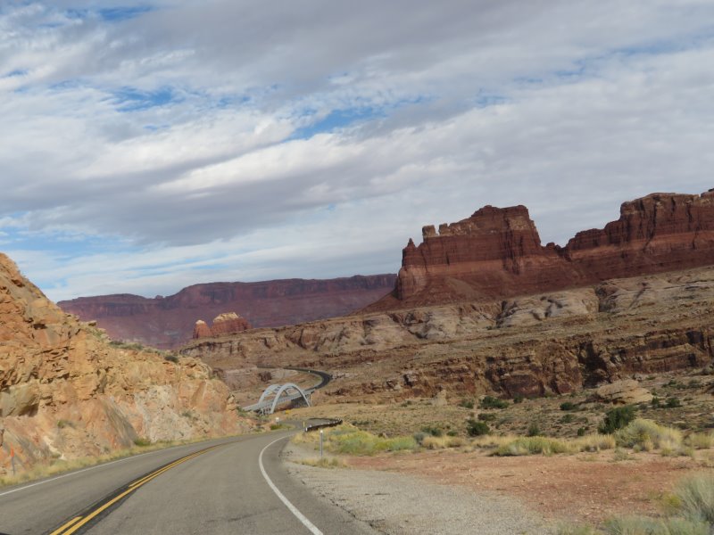
Approaching the crossing of the Colorado River
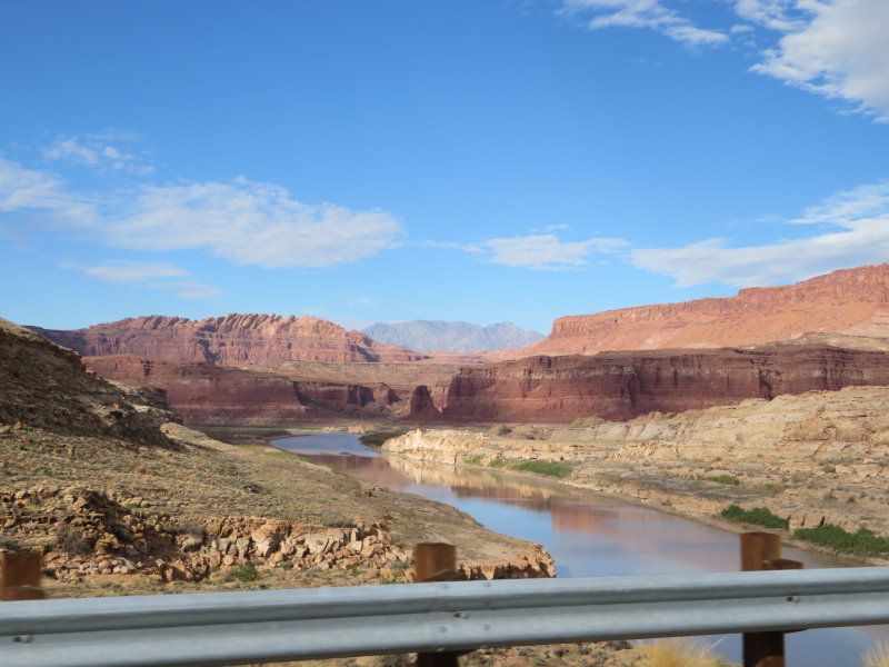
Colorado River
Formation in the Glen Canyon Recreational Area
Formation in the Glen Canyon Recreational Area
Terrific stretch of road in the Glen Canyon Recreational Area
Terrific stretch of road in the Glen Canyon Recreational Area
Terrific stretch of road in the Glen Canyon Recreational Area
Terrific stretch of road in the Glen Canyon Recreational Area
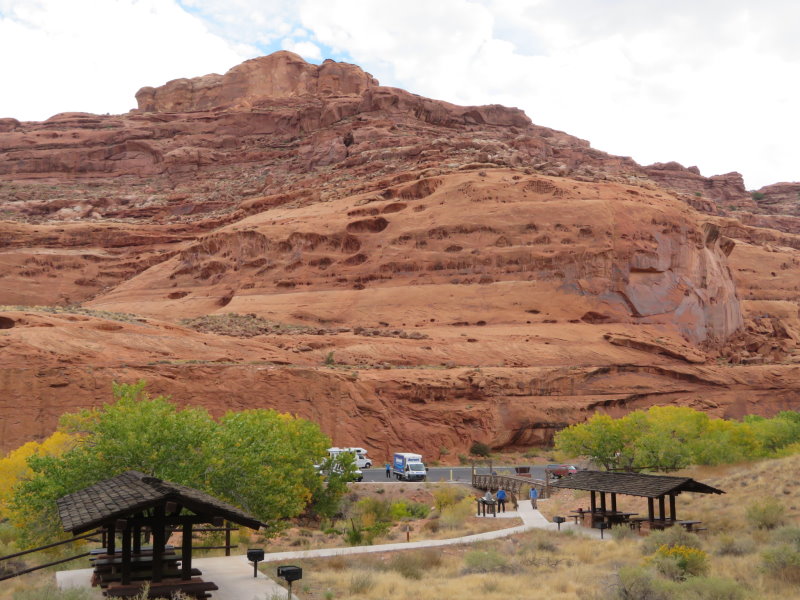
Birthday Smoko
The smoko rest area
The Gas Station store inside the mountain
Inside the store
Frequent Earth colour changes between Torrey and Boulder
Frequent Earth colour changes between Torrey and Boulder
Frequent Earth colour changes between Torrey and Boulder
Fall is upon us, the Aspens are turning yellow and adding to the colour
Fall is upon us, the Aspens are turning yellow and adding to the colour
Over the top of the Bell Knoll on Boulder Mountain, 9600 feet and 10 degrees C